
Jordan’s Q2 2026 GDP Expands 3.0%, Outperforming Regional Headwinds, International Forecasts
ENV-KUWAIT-SUSTAINABLITYKuwait strengthens environmental sustainability through strategic initiativesBy Zahra Al-Kadhmi

HLT-KUWAIT-SURGERYKuwait advances health sector with robotic, remote surgeryBy Mohammad Al-Moseb

Saudi Arabia’s Voluntary Carbon Market Fuels the Shift to a Low-Carbon

National
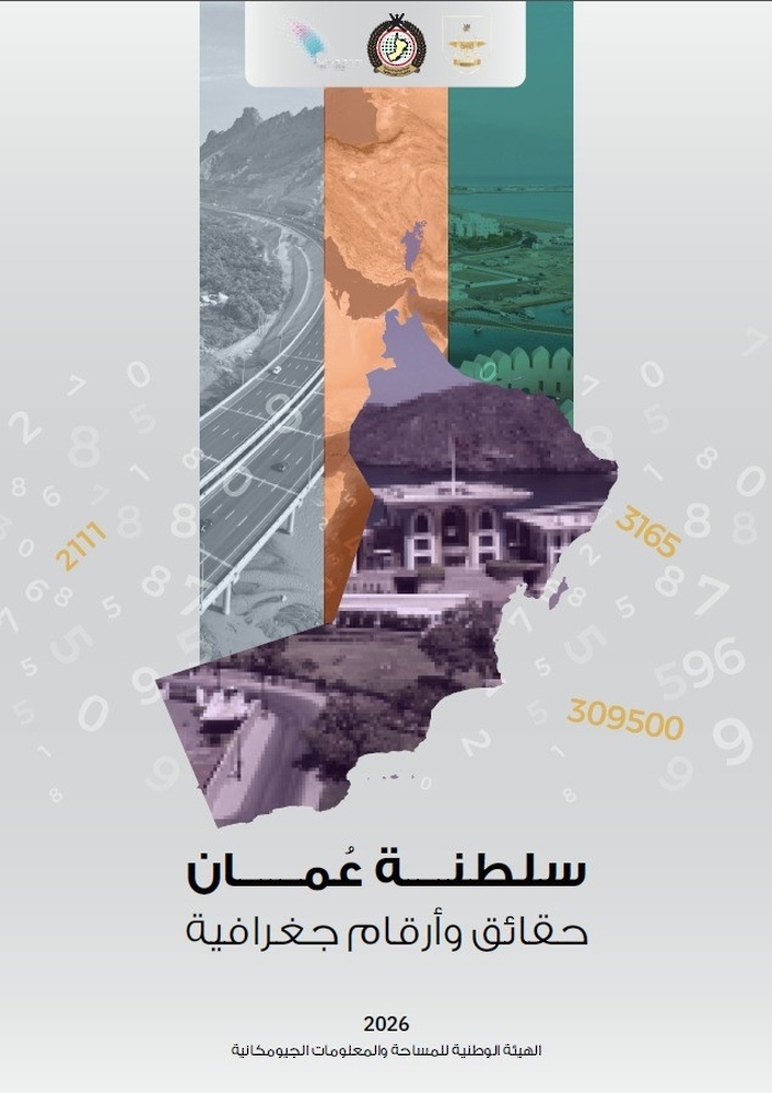
Survey, Geospatial Information Authority Publishes a New Book
Muscat,
15 July 2026 (ONA) — The National Survey and Geospatial Information Authority
has published a book titled “Sultanate of Oman: Geographical Facts and
Figures,” which comes as part of the scientific and documentary
publications issued by the Authority.
Through
its publications, the National Survey and Geospatial Information Authority at
the Ministry of Defence has sought to extrapolate geographical facts and
figures regarding the unique geographical diversity that the Sultanate of Oman
enjoys. This is conducted through a scientific methodology based on measurement
and spatial analysis within a Geographic Information Systems (GIS) environment
to derive geospatial information, which is then represented and displayed
through the maps and charts published within the pages of the book.
The
book contains several essential geographical facts and figures that highlight
the importance and status of the Sultanate of Oman. It does so by shedding
light on key pillars, including: the area and geographical location that define
the country’s spatial framework, the international land and maritime borders
that define its territory and separate it from its neighbors, and the
administrative division of the governorates.
Furthermore,
the book reviews the most prominent geological features of the Sultanate of
Oman, reveals the diverse terrain and landforms that characterize the Omani
territory, and highlights natural reserves. It also analyzes the importance of
transport and communications in connecting the country’s regions, alongside
demographic information related to the population.
—Ends/AG