Jordan’s Q2 2026 GDP Expands 3.0%, Outperforming Regional Headwinds, International Forecasts
ENV-KUWAIT-SUSTAINABLITYKuwait strengthens environmental sustainability through strategic initiativesBy Zahra Al-Kadhmi

HLT-KUWAIT-SURGERYKuwait advances health sector with robotic, remote surgeryBy Mohammad Al-Moseb

Saudi Arabia’s Voluntary Carbon Market Fuels the Shift to a Low-Carbon

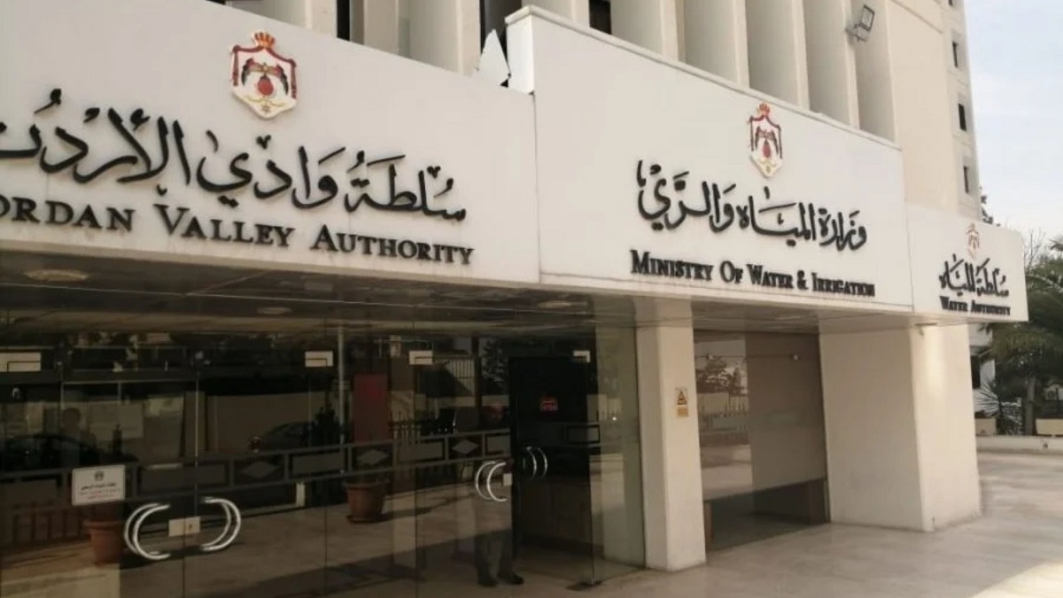
Amman, Oct. 21 (Petra) — The Jordan Valley Authority’s (JVA) use of
satellite data to improve irrigation efficiency and agricultural
water management has been featured in an international study
supported by the European Union and the European Space Agency (ESA).
The study, titled “Improving Water Use Efficiency in Jordan,” was
prepared under the SeBS4GEO project, implemented by the European
Association of Remote Sensing Companies (EARSC) for ESA, with funding
from the EU and ESA.
In a statement Wednesday, the Ministry of Water and Irrigation said
the study examined Jordan’s use of Earth observation technologies to
improve irrigation planning, optimize water distribution and support
agricultural productivity amid mounting pressure on water resources
and the effects of climate change.
The study highlighted the JVA’s efforts to integrate satellite
observations and technical performance indicators into irrigation
management, allowing authorities to assess network efficiency,
monitor crop water requirements and identify areas where water use
can be improved.
Central to these efforts is WaPOR, a satellite-based water
productivity monitoring platform developed by the Food and
Agriculture Organization of the United Nations (FAO), in cooperation
with the International Water Management Institute (IWMI).
Combined with data from the EU’s Copernicus Earth observation
program, the platform provides information on actual water
consumption, irrigated areas, agricultural water productivity and
water stress, helping authorities make more informed decisions on
irrigation planning and resource allocation.
The study also examined the JVA’s use of an irrigation performance
assessment tool that measures water supply adequacy, consumption
patterns, distribution equity and agricultural productivity.
The findings generated by the tool help identify underperforming
irrigation areas and guide investment toward infrastructure
improvements and operational needs.
The study emphasized that satellite monitoring can strengthen water
management by improving planning, supporting more efficient
distribution and enabling decisions based on measurable data rather
than estimates alone.
It also highlighted the importance of cooperation with farmers and
water user associations in improving irrigation performance and
ensuring the sustainability of agricultural water resources.
According to the study, effective smart irrigation management depends
on combining satellite observations with operational information and
local technical expertise, supported by capacity building and
knowledge sharing.
The initiative involves cooperation among the Ministry of Water and
Irrigation, JVA, FAO, IWMI, EARSC, ESA and the European Union,
alongside the Copernicus program and the Group on Earth Observations
Global Agricultural Monitoring Initiative (GEOGLAM).
The ministry said the international documentation of Jordan’s
experience underscores the country’s growing use of advanced
monitoring technologies and scientific data to improve irrigation
efficiency and strengthen the sustainability of its limited water
resources.
//Petra// RZ